


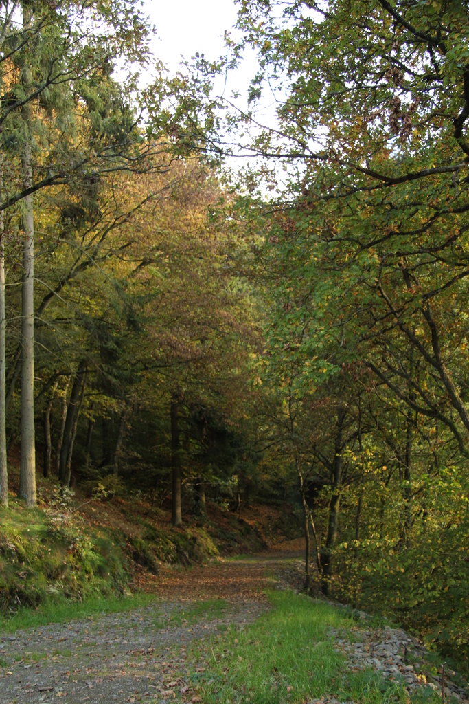
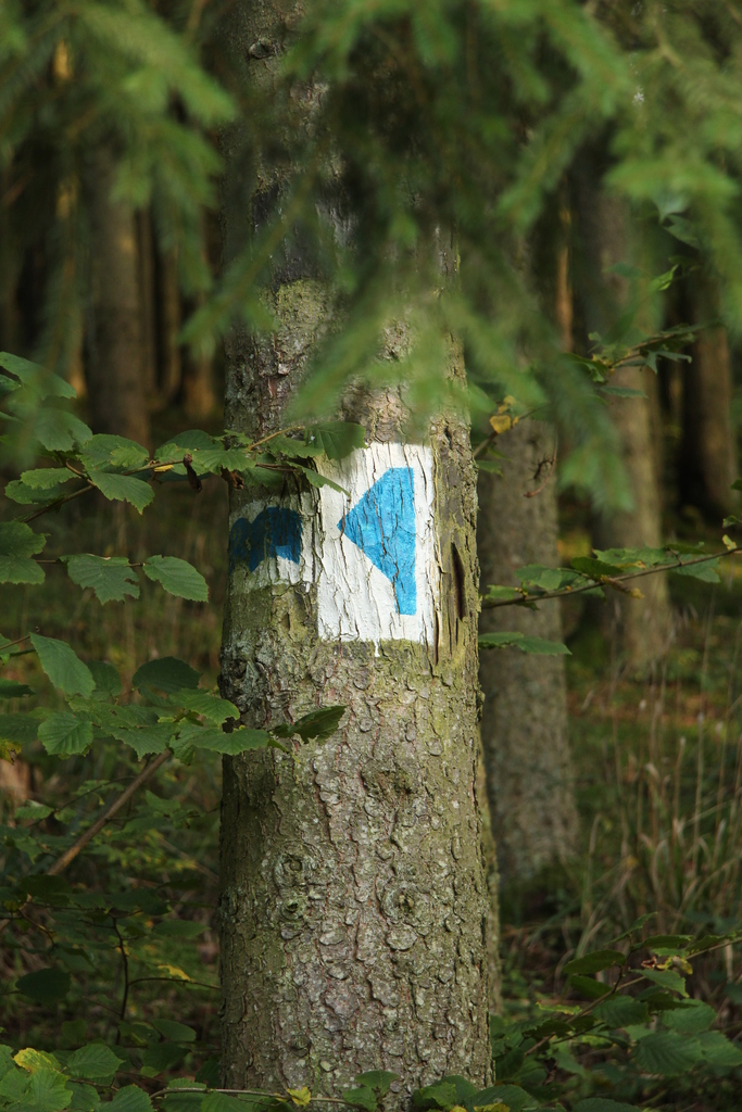
 Being located in the Ardennes forest, the hiking on offer is exceptionally good. Each town and village in the area has its own circular hiking trail. These use a common signage, often stencilled onto trees and rocks, to guide you round the route. These routes vary in length from just over 4km, up to 15km.
 Starting from just above Wiltz is the 16km Sentier de la Wiltz. This follows the valley downstream to the village of Goebelsmühle, where the train can be used to return to Wiltz.
For those wanting something a bit more adventurous or strenuous, there are a number of longer routes in the area. The E3 European long distance path passes through Wiltz, on its 234km traverse of Luxembourg. Nearby there is the 40km Circuit du Lac de la Haute Sûre, a circular walk round Luxembourg’s largest lake.
For more information on hiking near Wiltz, the Administration du Cadastre et de la Topographie (Luxembourg survey) produce very good 1:20000 hiking maps1)Available in the Wiltz bookshop, Wiltz Tourist Information and online . These show numerous hiking trails for all abilities.
Notes
| 1. | ↑ | Available in the Wiltz bookshop, Wiltz Tourist Information and online |